|
| *****SWAAG_ID***** | 348 |
| Date Entered | 23/11/2011 |
| Updated on | 05/12/2011 |
| Recorded by | Tim Laurie |
| Category | Tree Site Record |
| Record Type | Botanical HER |
| Site Access | Public Footpath |
| Record Date | 07/08/2011 |
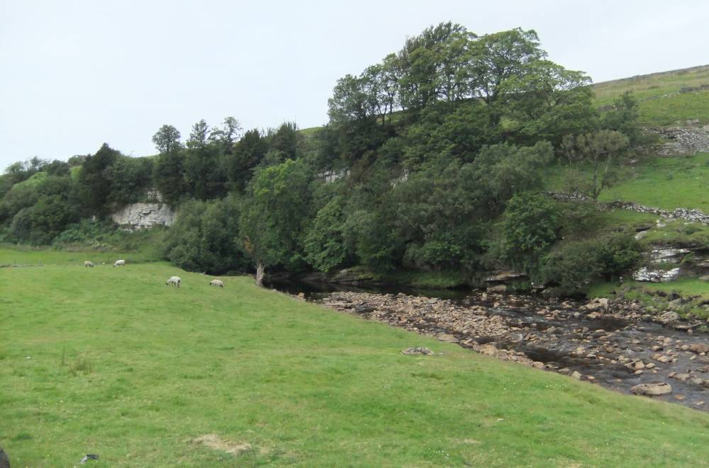
| Location | River Swale, Windy Gill Scar. North Bank above Low Bridge |
| Civil Parish | Muker |
| Brit. National Grid | NY 8767 0161 |
| Altitude | 360m |
| Geology | Main Limestone. Faults evident in the strongly dipping strata of the river bed. |
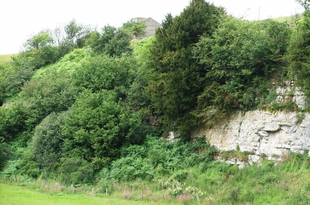
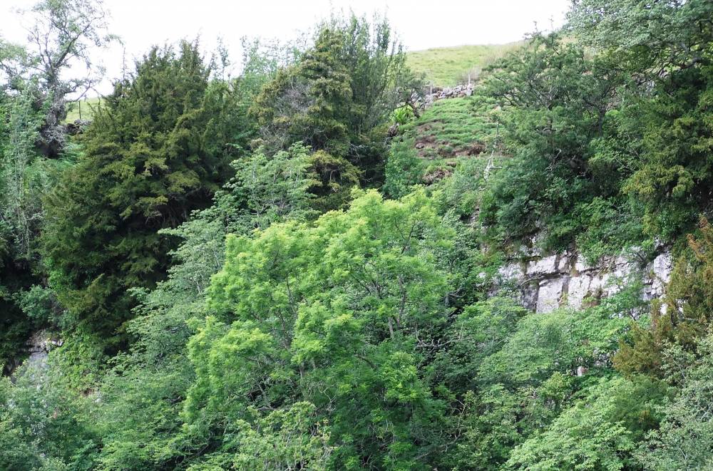
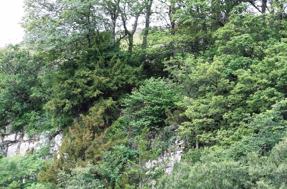
| Record Name | MUK127 River Swale, Low Bridge. Windy Gill Scar. Type C Species rich ashwood with Yew. |
| Record Description | Type C species rich limestone ashwood with downy birch,ash,bird cherry, blackthorn, elder?,hawthorn, hazel, yew, wych elm, sallow, rowan. Beech planted. |
| Dimensions | See photos |
| Geographical area | Upper Swaledale |
| Species | Yew |
| Common / Notable Species | Ash, Wych elm, |
| Additional Notes | This small cliff is the westward continuation of the cliff formed by the Main Limestone at Cotterby Scar.
Cotterby Scar and Brian Cave Scar together form the upstream limit for alder, ash (Except for a planted trees in the front garden of Stone House Farm)yew and wych elm.
Surprisingly, hazel is present at 500m elevation at Long Scar in Great Sleddale. |
| Image 1 ID | 1421 Click image to enlarge |
| Image 1 Description | Windy Gill Scar from Low Bridge. | 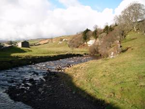 |
| Image 2 ID | 1365 Click image to enlarge |
| Image 2 Description | |  |
| Image 3 ID | 1367 Click image to enlarge |
| Image 3 Description | | 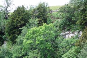 |
| Image 4 ID | 1368 Click image to enlarge |
| Image 4 Description | | 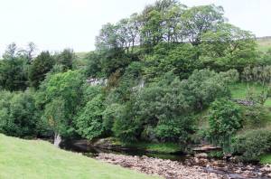 |
| Image 5 ID | 1369 Click image to enlarge |
| Image 5 Description | |  |
| Image 6 ID | 1366 Click image to enlarge |
| Image 6 Description | |  |